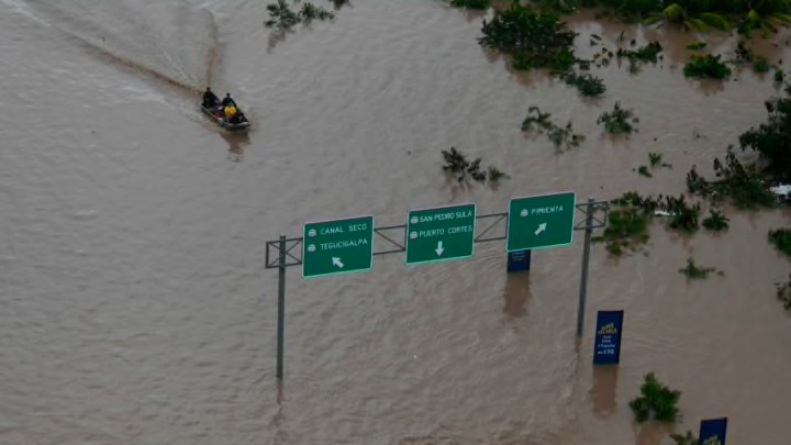
There is mounting concern that a potential sub-tropic weather system that has developed off the coast of Louisianna could bring torrential rain to much of the gulf coast.
Tropical Cyclone Three is not a named storm and may not reach the level of becoming named but that doesn’t mean it won’t bring severe weather and rain in time to ruin your weekend. According to the National Hurricane Center, the system, currently off the coast of Louisianna is expected to make landfall sometime early Saturday morning.
Current tracking models have the storm reaching tropical storm strength sometime Friday. The models are predicting that the storm will make landfall on the Louisianna and Mississippi border and then cross in an easterly track through Alabama, Georgia, and into South Carolina as a tropical depression by early morning on Monday.
Wind speeds of 39-73 miles per hour sustained could be experienced in those states. Weekend travel should be avoided through the area if at all possible. The lower Gulf states have been inundated with recent storms and will not easily absorb the rain that is predicted making flash floods likely across the region.
Rainfall estimates, according to NHC could bring as much as 6-10 inches to some areas but outlying tracks of the storm put much of the southern Gulf coast states in the 2-6 inch range.
More from TripSided
- Do You Know Where the World’s Oldest Operating Restaurant is?
- Why You Should Learn Some French Before Going to France
- Why Everyone Should Visit Las Vegas Once In Their Life
- Best Islands to Vacation on When You’re on a Budget
- A Brief History of Bánh Mì
The storm should track over the I-10 corridor between Tallahassee and into the New Orleans region from Friday into late Saturday with lingering showers Sunday morning.
New Orleans should start to feel the winds early Friday evening and Atlanta should start to experience gusts sometime early evening on Saturday.
While the storm will not reach hurricane strength it is important to take caution during travel and to note how the system could possibly shift. Those traveling should either leave earlier than planned or wait a day if possible. Emergency traffic should be the only traffic on the roads while the storm is in the area.
Keep a close eye on this storm and visit the NHC website for updates and emergency declarations and potential road closures can be found on state government websites.
